")
")
")
")
")
")
")
")
")
")
")
")
")
")
")
")
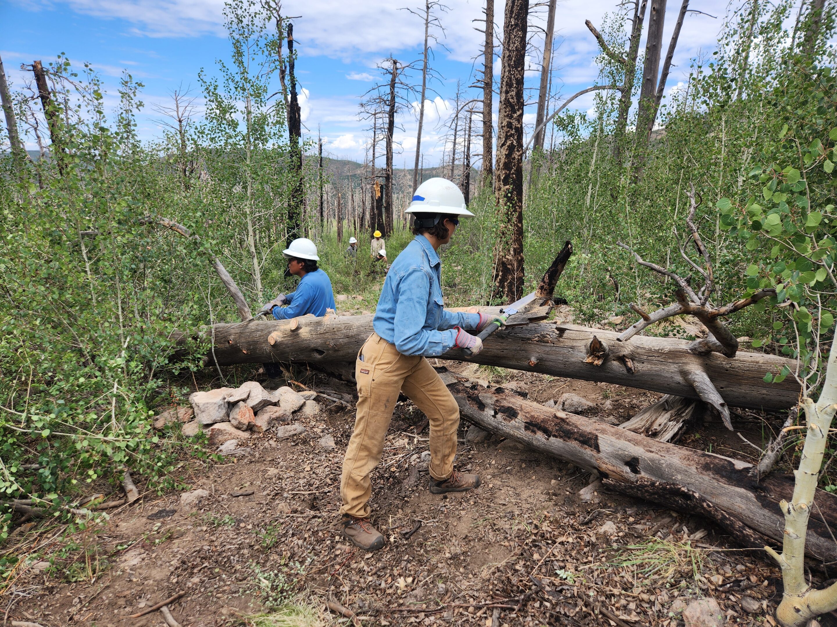
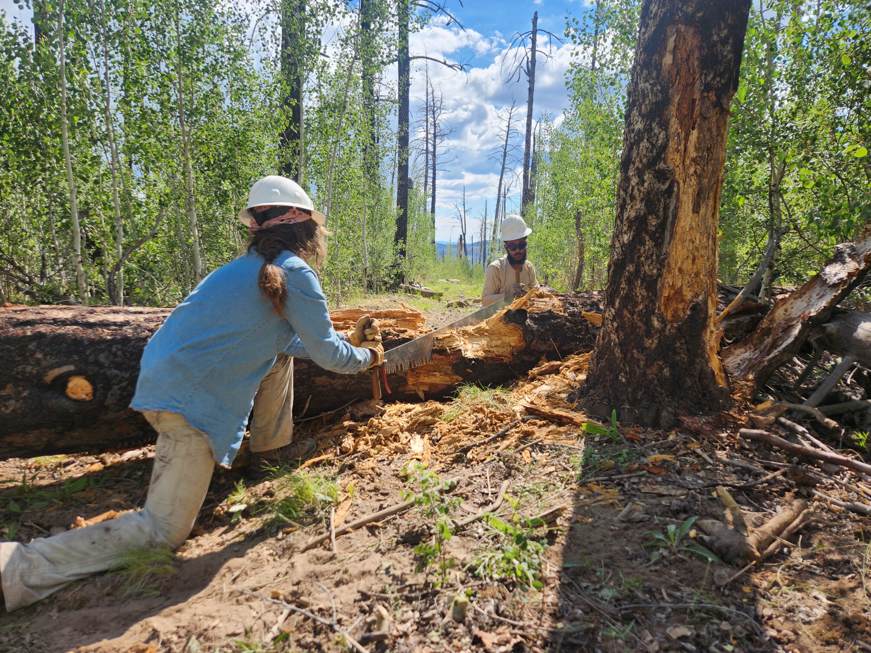
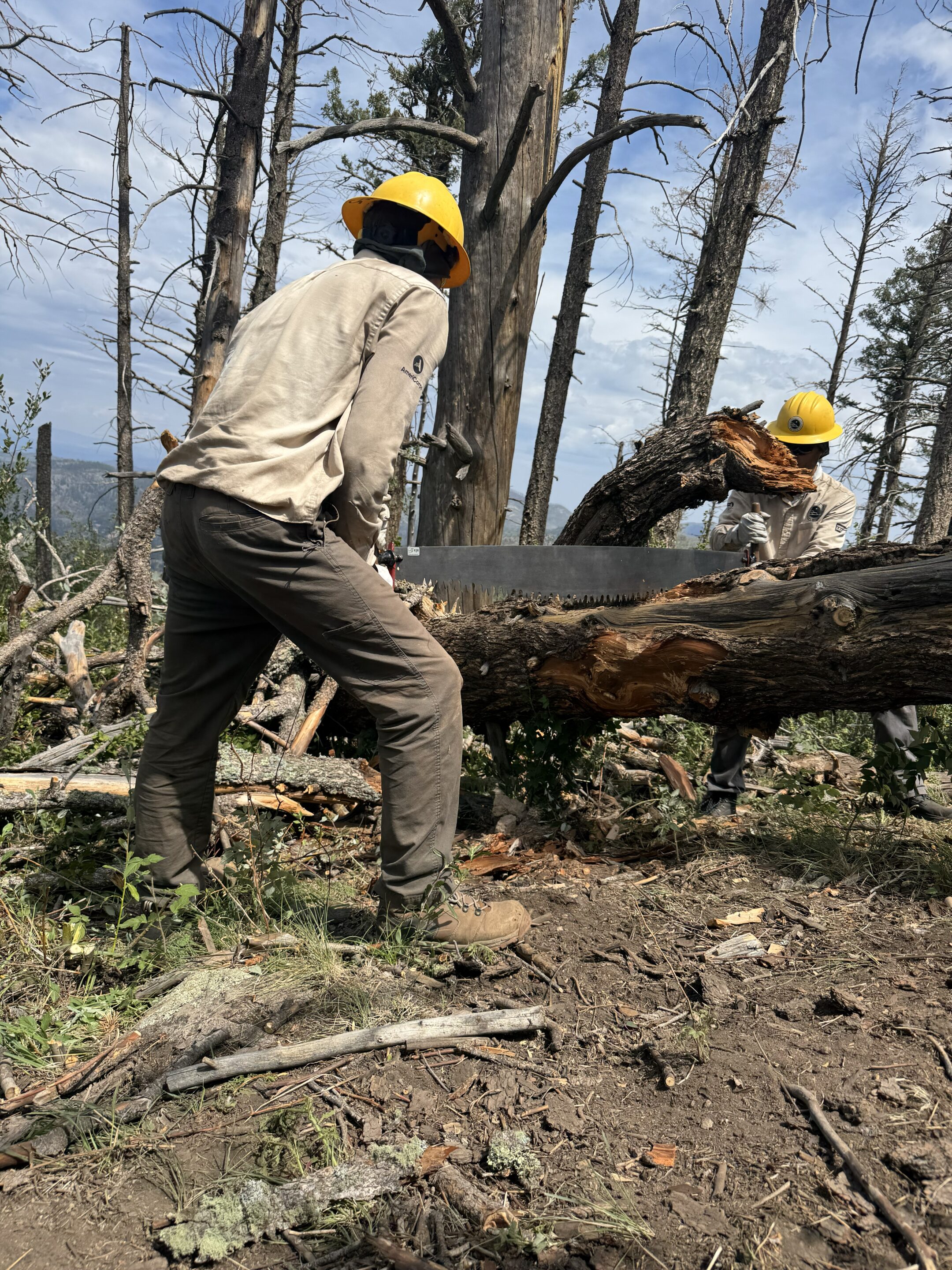
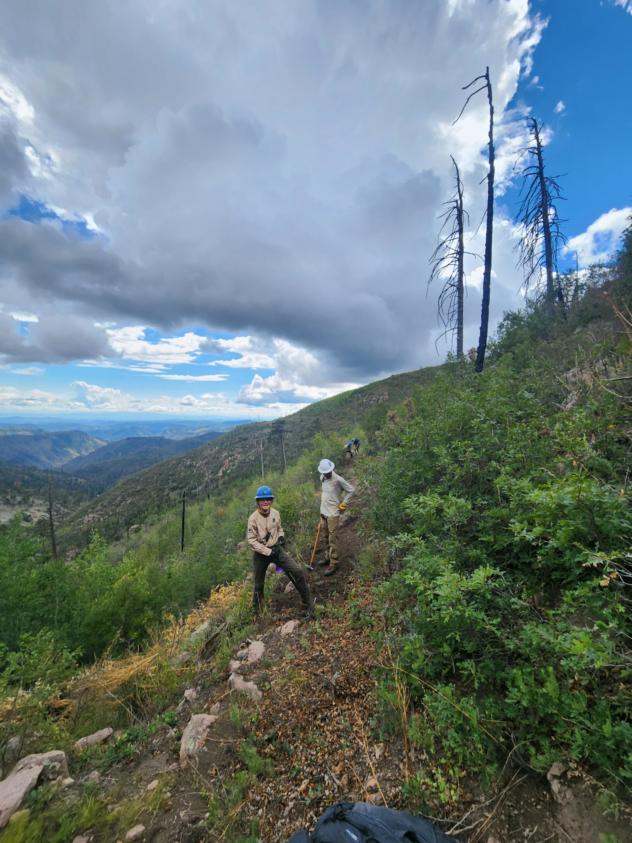
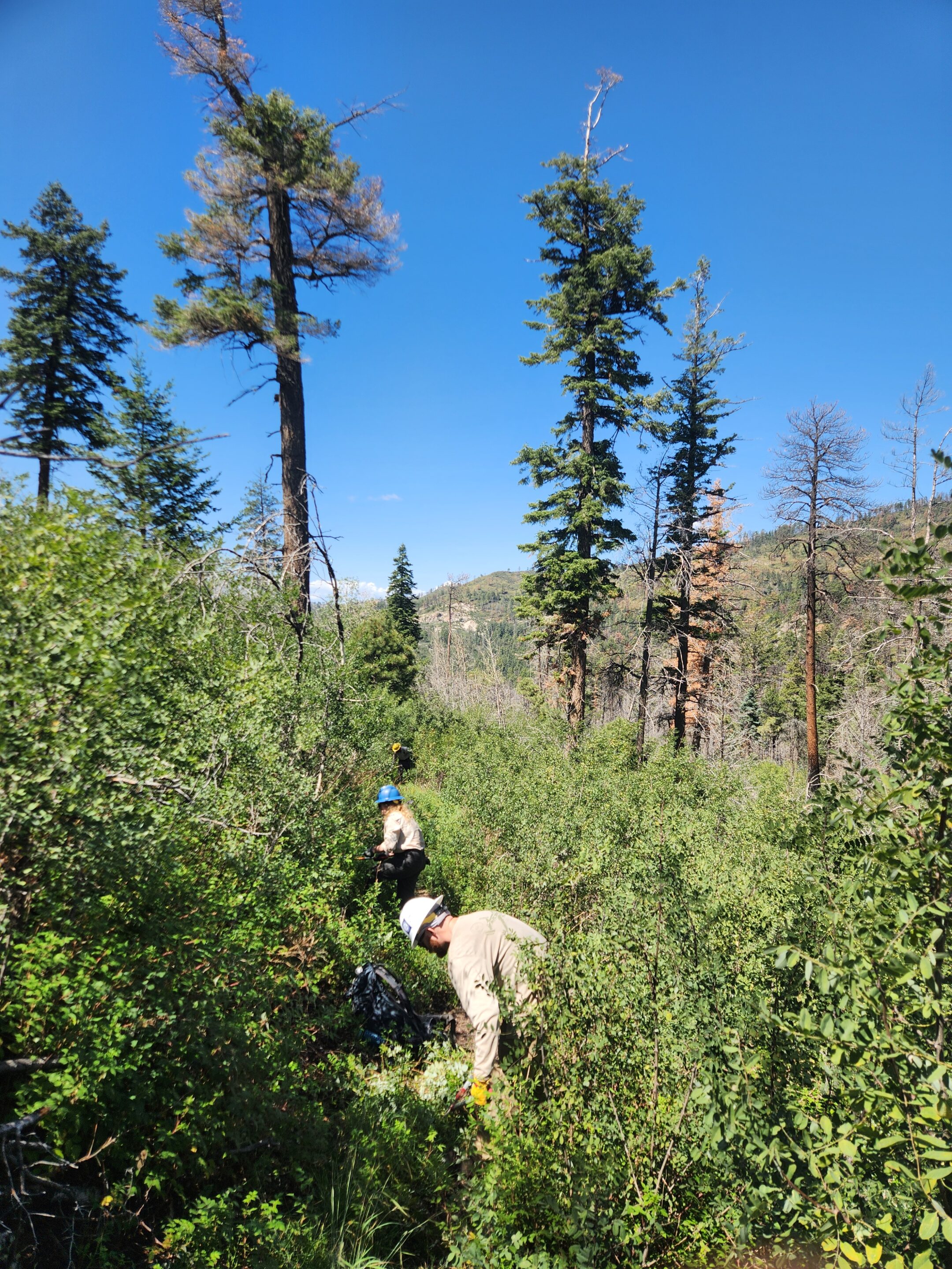
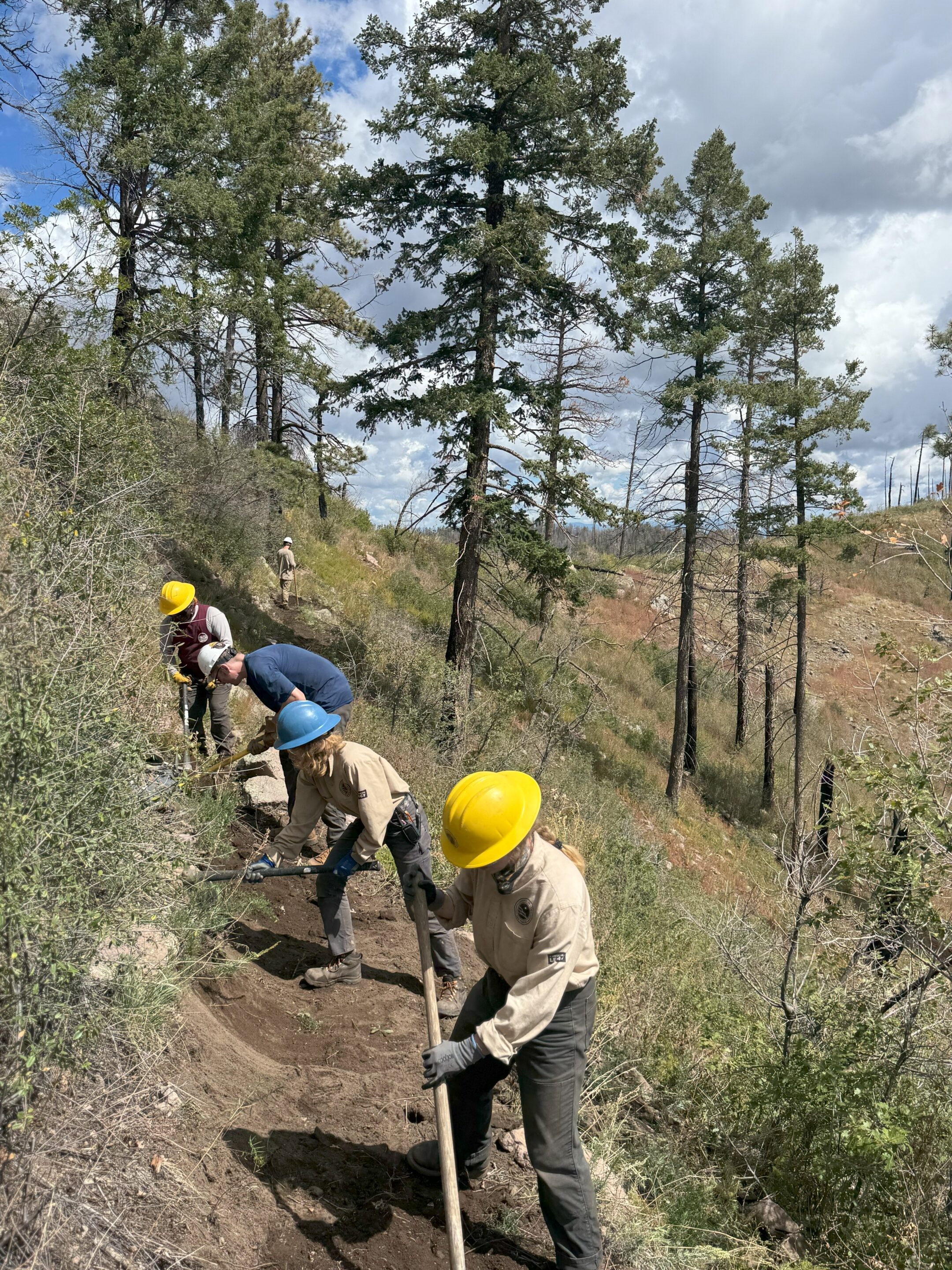
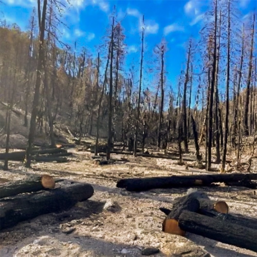
Trail Work Post 2022 Fire
Thanks to Natural Curiosity, CDTC, Conservation Crews, and National Forest Foundation

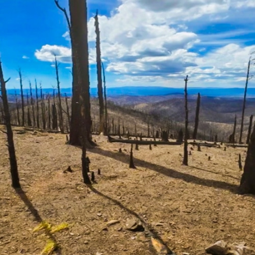
Travel in Aldo
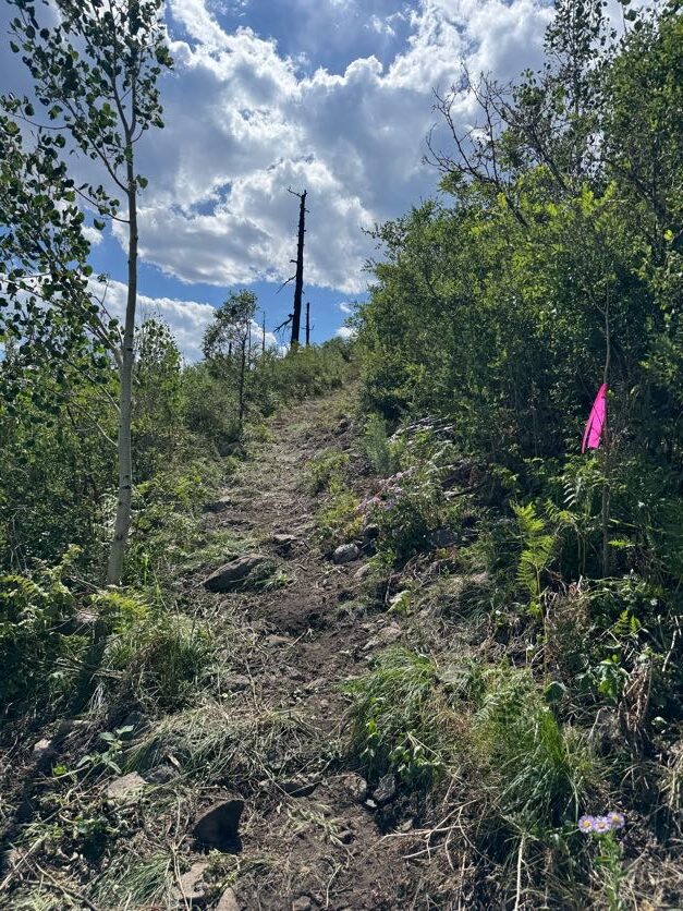
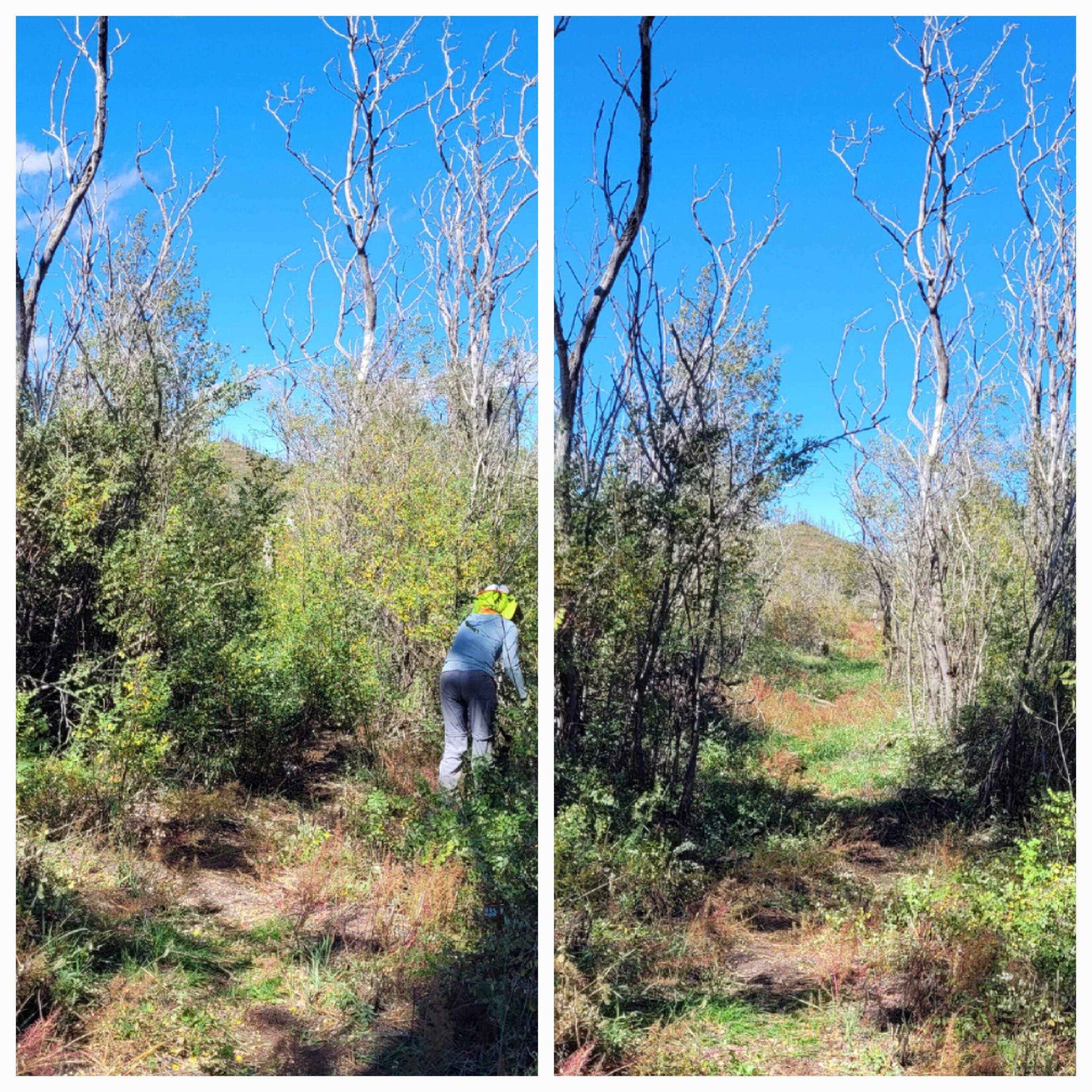
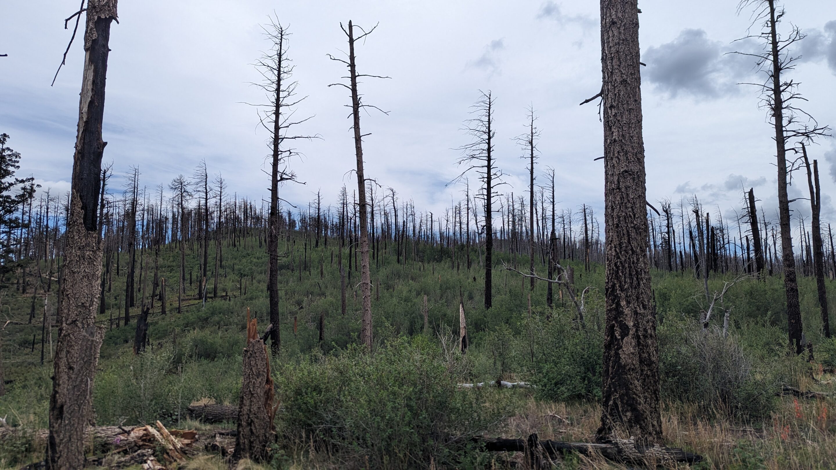
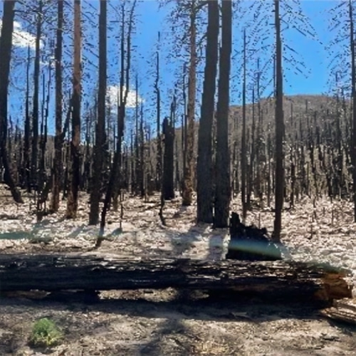
Aldo Leopold Wilderness was significantly affected by the Black Fire. Expect washouts, lots of locust, hazard trees and downed logs. Some areas have been recently maintained and may be fine for travel.
Equine and backpacking/hiking is allowed on all trails. Bikes (regular and electric) and OHVs are not allowed in Wilderness
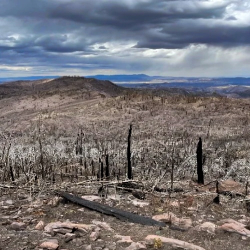
Immediately After the 2022 Burn
Fisherman Canyon Trail
Diamond Peak Area
Diamond Creek Trails
Diamond Creek Trails
Diamond Peak Area
Fisherman Canyon Trail
Fisherman Canyon Trail
Reed's Meadow
South of Reed's Peak
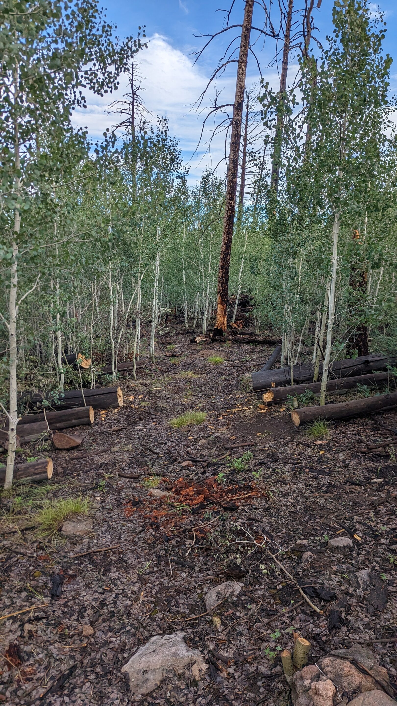
Post Fire Trail Information
For newly cleared trails, see the Trails Maintained Document above.
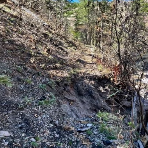
Below is fire-affected trail information regarding trails that have not been maintained since the fire.
Please remember the conditions described below could change at any moment. Locust will continue to regrow quickly.
Travel at your own risk.
Animas Creek Trail #114 - June 2023
Notables:
- Trail: 11 miles. The upper and lower portion of this trail are in better condition and will be more easily maintained than the middle section.
- Tread: Missing throughout the whole.
- The middle section, about 3.5 miles, has flood effects, missing tread, very dense veg and years of deadfall.
Passable by stock during assessment:
- The trail is not passable by stock in the middle portion and passable but difficult on both ends.
Section 1 About 1.5 miles north from saddle (Junction 128/79)
Notables:
- Log: At least 88 small/27 medium/6 large
- Lots of trenching in trail tread. Braided cattle trails make it even more confusing.
- 100% mortality, most or all from Silver Fire. Lots of grasses, fern and short veg.
_____________________________________________
Section 2 About 1.5 miles downstream
Notables:
- Logs: At least 56 small / 20 medium / 5 large. Plus 4 log jams.
- Riparian vegetation is very dense in the lower half of this section.
- Tread: Missing off and on through the lower ½ of this section. The lower 2300 ft have very dense vegetation and logouts, many old and rotten, and lots of missing tread and VERY dense poison ivy
Section 3 About 1.2 miles downstream
Notables:
- Logs: At least 65 small/41 medium/20 large (lots of rotten logs). 2 small log jams
- Mostly moderate to heavy locust, oak and riparian veg
- Extensive missing trail and crossings with many flood deposits and log jams. Poor to no delineation.
- 1/3 is obliterated and 2/3 are full of logs and veg
_____________________________________________
Section 4 “Up and Over” to Sid’s Prong junction ~2.1 miles
Notables:
- Logs: At least 98 small/49 medium/15 large (largest about 40”dbh) Tread is hit or miss. No sign for Sid’s Prong #121 or #309. No sign of trails either
Section 5 From Sid’s Prong junction to the end of trail that connects to Hermosa #307. ~5.3 miles
Notables:
- Logs: 51 small/25 medium/6 large. ~2 log jams depending on where the trail goes.
- There are cattle and game trails that deviate from system trail and can be hard to differentiate especially because trail does not always follow GIS.
- Signage: No sign at Water Canyon #120 nor at Hermosa #307 junction
S. Fork Mimbres #80 ~1.8 miles - July 2023
Notables:
Trail: Approximately 60% of trail is unidentified or gone.
May exist within overgrowth and deadfall but it’s impassible and unidentified. Logouts are extensive due to 100% mortality from Silver Fire. There is considerable heavy aspen and locust.
Logs: At least 115 small, 85 medium and 26 large on the tread that has been identified, approx. ¾ mile. Upper ~1500 ft is heavy medium and large aspen deadfall not counted.
Passable by stock during assessment:
No
Circle 7 #106 - June 2023
Section 1 From CDT-74 to where trail joins Circle 7 creek. ~1.2 miles
Notables:
- Logs: 7 small / 3 medium / 1 large. Info does not include work needed in missing.
- Tread: Top of trail is steep, washed out and overgrown.
Passable by stock during assessment:
- Not suggested due to lost tread and unknown obstacles.
Section 2 From where it enters Circle 7 creek bottom to the lower trailhead at FR730 ~5.4 miles
Notables:
- Logs: At least 8 small / 7 medium / 2 large. Not a lot of tree mortality. logs not counted for missing or obliterated sections.
- Trail: Mostly obliterated within drainage with high flood effects for most of this section. ~8ft high log jams occur and often block what would have been a trail. Old blazes were found but tread was hit or miss in small sections, mostly gone. Dominating issues are flood obstacles and trail washed away. Trail mostly obliterated within the drainage.
Passable by stock during assessment:
- Not suggested, difficult to go around all the flood obstacles.
East Canyon Trail #93 - July 2023
Section 1 – approximately 1.3 miles
Notables:
- Logs: 2 small / 7 medium / 1 large
- Old road bed remains in sections but is usually blown out at crossings. No signs or cairns at trailhead/junction with Quaking Aspen Trail
Passable by stock during assessment:
- Yes with go-arounds
Section 2 – approximately one mile
Notables:
- Logs: 17 small/13 medium/1 large and 1 small log jam to break down. Delineation is mostly good.
Passable by stock during assessment:
- Need pruning saw for one small log across, then passable with lots to go around.
Section 3 – approximately 1.6 miles
Notables:
- Logs: 98 small / 47 medium / 14 large
- Needs definition or cairns in the loose soil. Need ~15 cairns
- Signage: No sign at junction with #79 but there are 2 cairns and 1 blaze.
Passable by stock during assessment:
- Passable up to a point, then very difficult to go around.
Middle Fork Mimbres #78 ~1.7 miles to junction with #80 - July 2023
Notables:
- Trail: Mostly gone. Log outs are extensive due to 100% mortality from Silver Fire. A few blazes remain.
- Assessment not done from junction with S Fork Mimbres #80 to Mimbres Trail #77.
- Expect similar conditions for the top portion.
Passable by stock during assessment:
- No
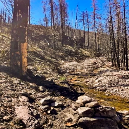
Black Canyon from Reeds Meadow to the Black Canyon Box near Falls Canyon
This trail was logged in Spring of 2023. Please note that logs may be falling fast and locust may be very thick in high burn areas.
Black Canyon Trail # 72 from FS Road 62 to Aspen Canyon Trail#75/CDT74 - May 2023
Notables:
Most damage was done by flooding. Multiple sections of the trail washed away. Some sections of the trail are undefined and confusing. This part of the canyon is fairly wide, so getting around many trail-damaged areas is doable.
Passable by stock in condition during assessment:
The first 1.2 miles is Not recommended because of the unstable bank section, but with some effort could likely go around through the creek. The remainder of the trail is passable with some go-arounds. All travel will require route finding and paying close attention.
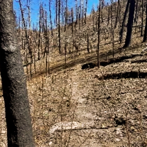
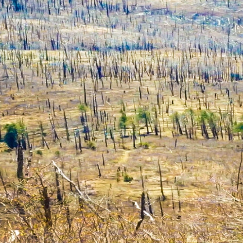
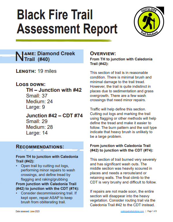
Diamond Creek Trail #40
See June 2023 Trail Assessment by Outslope Trail Solutions
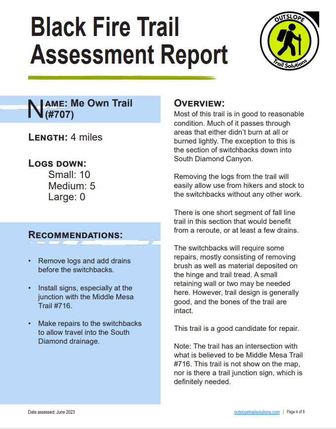
Me Own Trail #707
See June 2023 Trail Assessment by Outslope Trail Solutions.
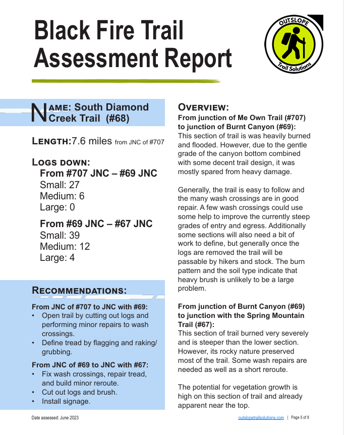
South Diamond Creek Trail #68
June 2023 Trail Assessment by Outslope Trail Solutions
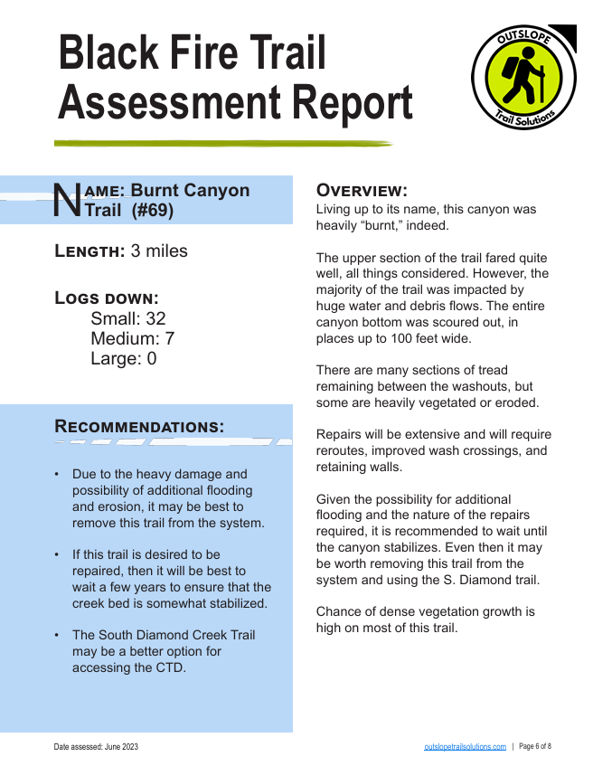
Burnt Canyon Trail #69
June 2023 Trail Assessment by Outslope Trail Solutions
Tom Moore Trail #708 - May /June 2023
Notables:
- Higher tree mortality at the beginning of the trail. Further down the trail, several well-defined game trails lead to tanks deviating from faint system trails. Otherwise, the trail is decent.
Passable by stock during assessment:
- Yes
Aspen Canyon Trail #75 - Fall 2022
Notables:
- The upper part of Aspen Canyon is narrow and has mixed conifer.
- Trail: this area was severely washed out. Water cut several ~5-foot drops in the canyon floor.
- No reports on the lower part of Aspen Canyon where the canyon widens. There is hope that most of the trail is still in tack in this section.
Aspen Mountain Trail from Signboard Saddle to Reed Peak - Fall 2022
Notables:
- Still lots of tall locust and logs on this trail.
- Not recommended.
Squeaky Trail #774 - June 2023
Notables:
- The Forest Service crew logged out of the trail already. Some of it is brushy.
Passable by stock during assessment:
- Yes
North Seco Trail #123 - May/June 2023
Notables:
- Light brush and a few logs. West section tread is intermittent with some flooding and sediment covering the tread. Mid-way section lost 300-400 ft.
Passable by stock during assessment:
- Unknown
Mimbres River Trail #77 - Monument Canyon to Crest Trail - May 2023
Upstream of Monument Canyon to the Confluence of the north and south forks
Notables:
- Trail: missing or obliterated sections of trail totaling about ½ miles. Dead standing.
- Logs: Lots of logs.
Passable for stock during assessment:
- Not suggested; difficult to go around log and rock debris.
_____________________________________________
Upstream of Confluence of North and South Forks to Crest
Notables:
- Mortality was high from the Silver fire with high flow, incision, and high log jams from Silver and Black Fire flooding—lots of standing dead trees.
- Logs: Over 200 logs, sections go locust moderate to thick.
- Tread: Much of the tread is unidentified or washed away.
Passable by stock during assessment:
- No
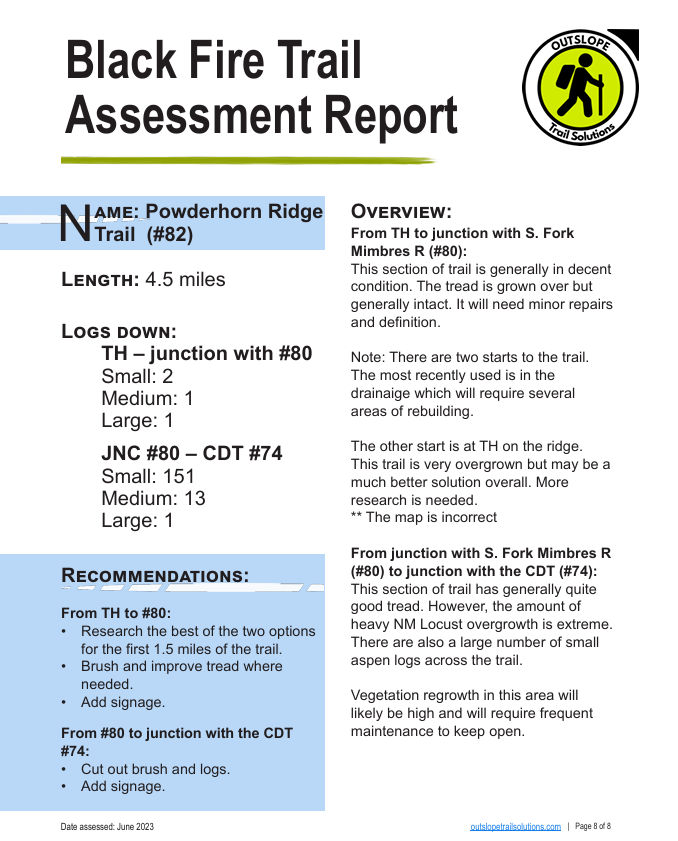
Powderhorn Ridge Trail # 82
See June 2023 Trail Assessment by Outslope Trail Solutions.
Note the first mile of this trail was improved in late 2025
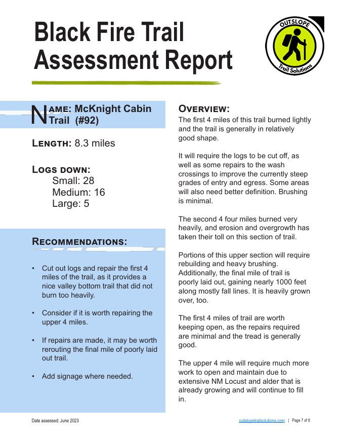
McKnight Cabin Trail #92
See June 2023 Trail Assessment by Outslope Trail Solutions. Note the first 3 miles of this trail were improved in 2025.
Lake Trail #101 - April/May 2023
From TH to S. Fork Palomas Cr
Notables:
- Route needs attention to be better delineated but is very open and passable.
_____________________________________________
From S Fork Palomas Cr to Marshall Cr confluence
Notables:
- Route passable and tread mostly delineated except at crossings
_____________________________________________
From S. Fork Palomas Cr/Marshall Cr confluence to Marshall corral
Notables:
- Trail: 200 ft section that seems to go through the creek is very unclear and may cause difficulty for stock Route passable and mostly delineated.
_____________________________________________
From Marshall Corral to Sawmill Well
Notables:
- Section is passable and delineated.
- From junction #123 to Box Corral
Notables:
- Logs: 75 logs, jungle just before and through box canyon. 650 ft of tread is gone or washed out.
- Trail: The trail pretty much stays in the creek bottom in box canyon with most tread gone.
Passable by stock during assessment:
- Not stock passable and won’t be where the canyon walls bottleneck.
_____________________________________________
From Box Corral to confluence 2.4 miles below the Crest Trail # 79
Notables:
- Tread: The tread is missing for most of this section. Tread is mostly washed away and obstructed by small flood debris.
Passable by stock during assessment:
- Stock passable with some difficulty on go-arounds but rather irrelevant if above and below the trail is not passable for stock.
_____________________________________________
From Confluence to Crest Trail #79 ~2.4 miles
Notables:
- Trail: Over a half mile of extreme locust with aspen regrowth and lots of dead aspens also blocking passage.
- Tread: Most of the tread needs to be redefined or completely recut.
Passable by stock during assessment:
- No