Current Conditions
Alert
Fire Danger: High
Drought Level: Severe
Fire Danger and Water Sources
The Gila is in major drought
Water Sources are drying up. Always have a backup. Plan your water sources accordingly.
Current and Recent Fires that affect travel in the Gila
Click the links below to view closure maps and updates on trail conditions.
The Trout Fire
The Trout Fire was discovered on June 12, 2025. It would eventually burn more than 47,000 acres.
You can read how the trails are affected by the fire.
And see photos of the CDT near Signal Peak and Black Peak
Turkey Feather Fire
Turkeyfeather Fire was started by lightning and burned 24,128 acres in the area of Turkey Feather Mountain, Clayton Mesa, Iron Creek Mesa and near Snow Lake.
For info: Nmgnf 2025Turkeyfeathergnf Information | InciWeb
View map of fire here
As of August 17th – Cooper Canyon is a boulder field and was pretty heavily burned by the Turkey feather Fire, it had showed some signs of intense flooding and was flowing when we went by on horseback. Iron Creek was a similar story widespread flooding along the burn scar out of multiple drainages (some new ones formed as well), you wouldn’t want to get caught in there at the wrong time.
External Sources
USGS Gila River Gauges
USGS River Gauges Map
Hovering over the gauge you are interested in will provide a snapshot of what is happening.
Specific River Gauge Charts
We have found the CFS chart to be most helpful. Make sure you are looking at CFS and NOT the Gauge Height.
Note: the USGS uses a logarithmic scale. Instead of the scale increasing by a set amount (for example 10, 20, 30,… ) the scale increases by powers of 10 (10, 100, 1000…).
West Fork Gila River at Gila Cliff Dwellings
West Fork Gila River Below Middle Fork
Gila River at Grapevine Bridge below East Fork near Gila Hot Springs, NM
Factors to Consider
Each Individual: A person’s size, weight and comfort level in water make a big difference in how high of a river that is crossable. Take these factors into consideration before attempting to cross.
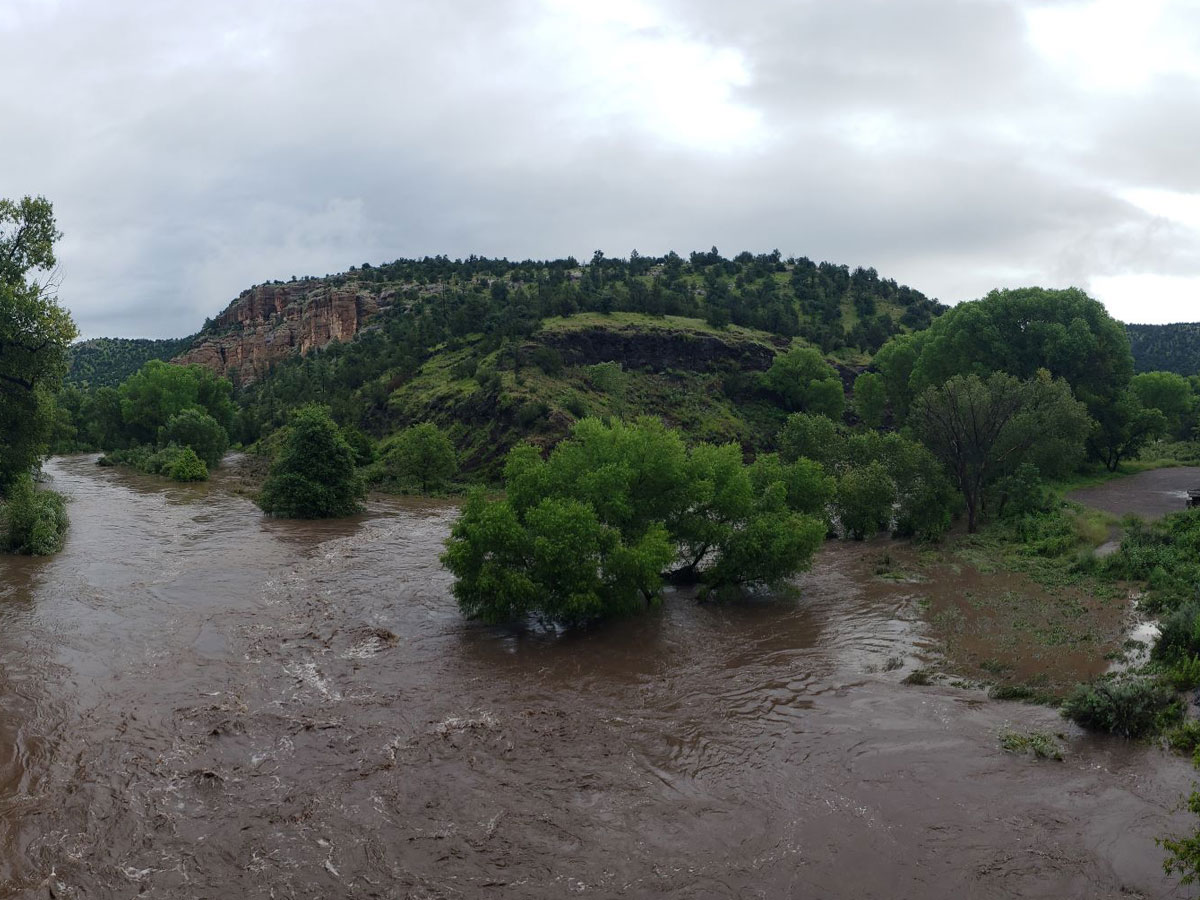
Water Levels Can Rise Fast: Water levels can rise fast but may take days or weeks to recede to passable levels.
People get themselves in trouble because they can cross on one day. Then they camp somewhere where they can not hike out of the canyon. The river rises overnight and they are stuck. This can also happen to those who are hiking during the day. Crossing can rise in an hour to impassable.
It is hard to say what is happening in the high country, so one never knows if the rivers will flood or not. The rain on the snow in the high country causes the river to flood fast and high in the winter and spring. It is like a flash flood but on a bigger scale.
Each Water Crossing is Different: Some crossings are more swift when the channel is narrow and deep. Where the river is wide, it is much easier. If the river is dark colored, it is hard to see how deep a crossing is or if there are rocks one could trip on. Crossing with a backpack can be dangerous if one gets swept over.


What number means impassable?
For the Middle Fork and for the West Fork of the Gila, you do not want to be crossing above 100 CFS but varies for each individual.
For the main Gila, you do not want to be crossing above 200 CFS but varies for each individual.
General Seasonal Conditions
Summer:
Dry hot days with an increased chance of lightning. Watch out for snakes. Water can be scarce. May need more route finding due to heavy vegetation.
Fall:
Warm days with cool nights typically. Spotty water depending on monsoons. Historically September has brought lots of rain.
Winter:
Cool days with freezing cold nights typically. Snow and ice typically found on trails. Road closures and impassable roads are possible.
Spring:
A very popular time for the Gila. Cool days with cool nights typically. Water is usually available from snow melt however flooding is possible.

