Stage 1 Fire Restrictions in Effect
New Mexico’s Gila Wilderness was the first designated wilderness in 1924. Due to its size and early protection, the Gila Wilderness has many pristine places to tread lightly in.
Huge wildfires and subsequent floods have majorly impacted some parts of this land, but much remains to be experienced. All trail work is done with hand tools and crosscuts. Check out the trail info below to avoid these heavily impacted areas and to find trails that have been recently maintained.
Trail Users? Who?
![]()
![]()
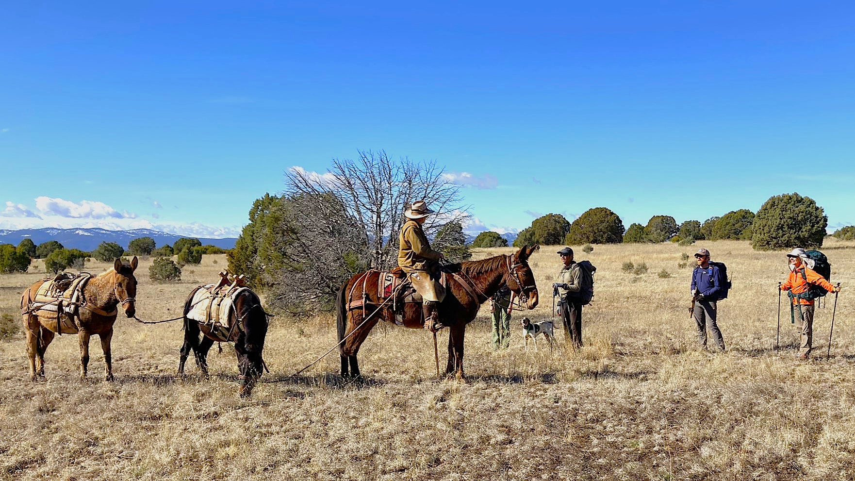
Equine and Backpacking/hiking is allowed on all trails, although some trails are not advisable for equine.
Bikes (regular and electric) and OHV’s are not allowed in Wilderness.
Topo Maps & GPS
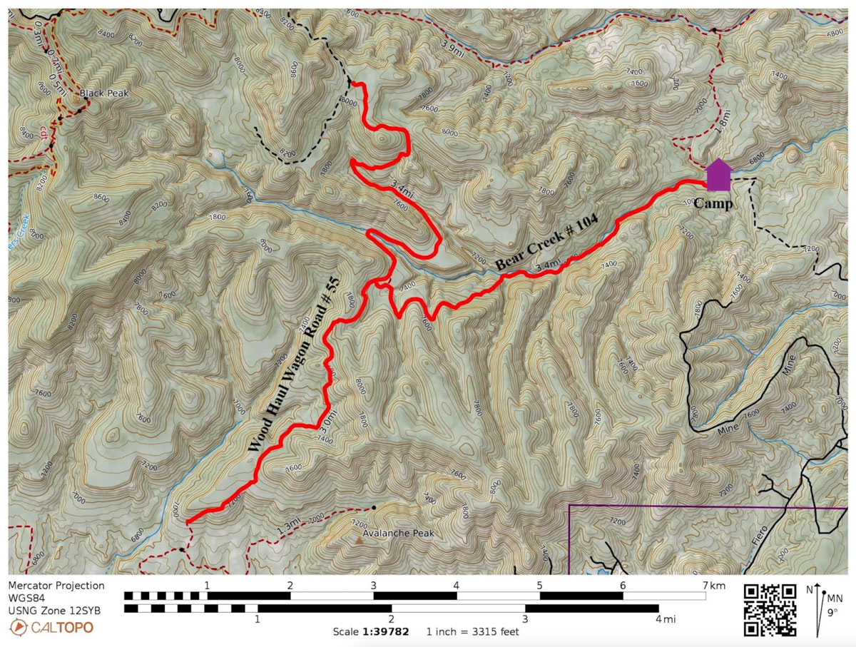
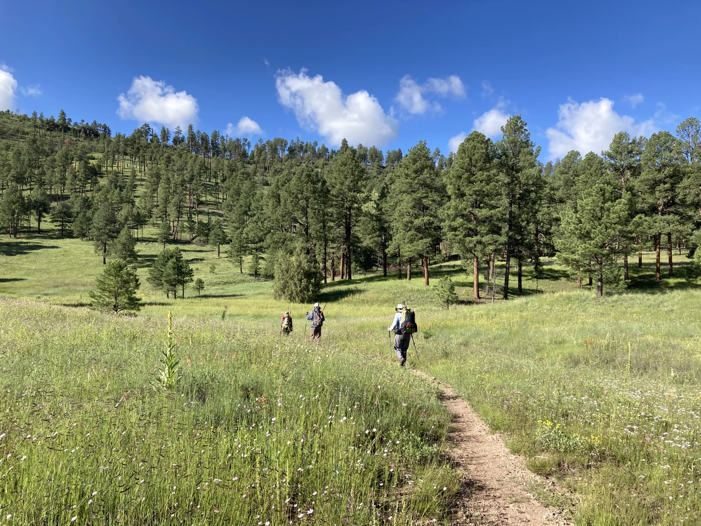
The trails are sometimes faded due to minimal use, lack of trail maintenance on hard to get to trails or major fires/floods (on select trails). In some places where lack of trail use can cause the tread to be hard to find, you may need to rely on blazes or cairns to locate the path in addition to your map. See map
Updated Trail Information
Check out various PDF’s of updated trail info such as Trail Maintained, Trail mileages, GPS location of trail updated, Trails not recommended.
Water to Drink
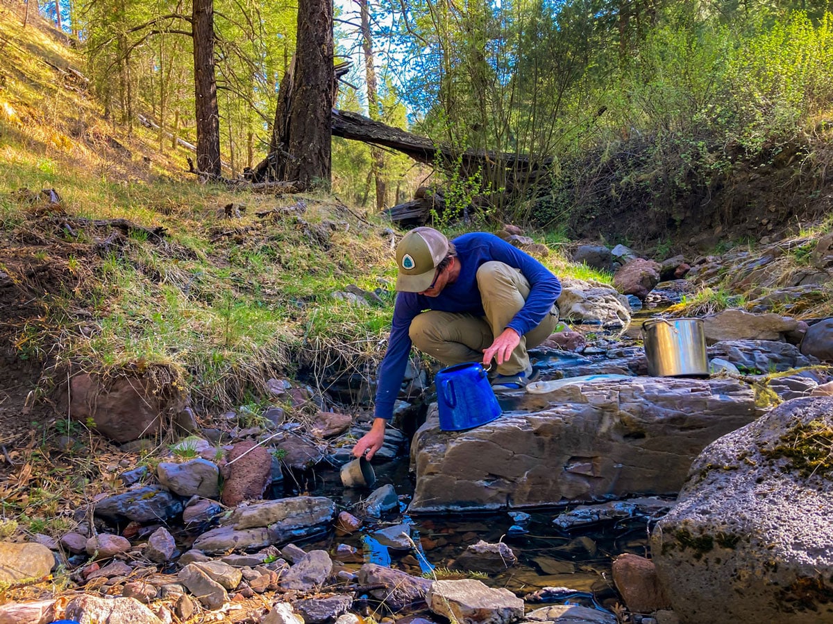
Water availability changes with the seasons. Check Water Updates and always have a backup option. Planning a route that drops down to the Forks of the Gila will help guarantee water. Always purify water for drinking. Be prepared for murky water during monsoon season and spring runoff.
Pay it forward and submit a water report for other trail users: Gila Wilderness or General Gila National Forest
Exploring the Forks of the Gila River
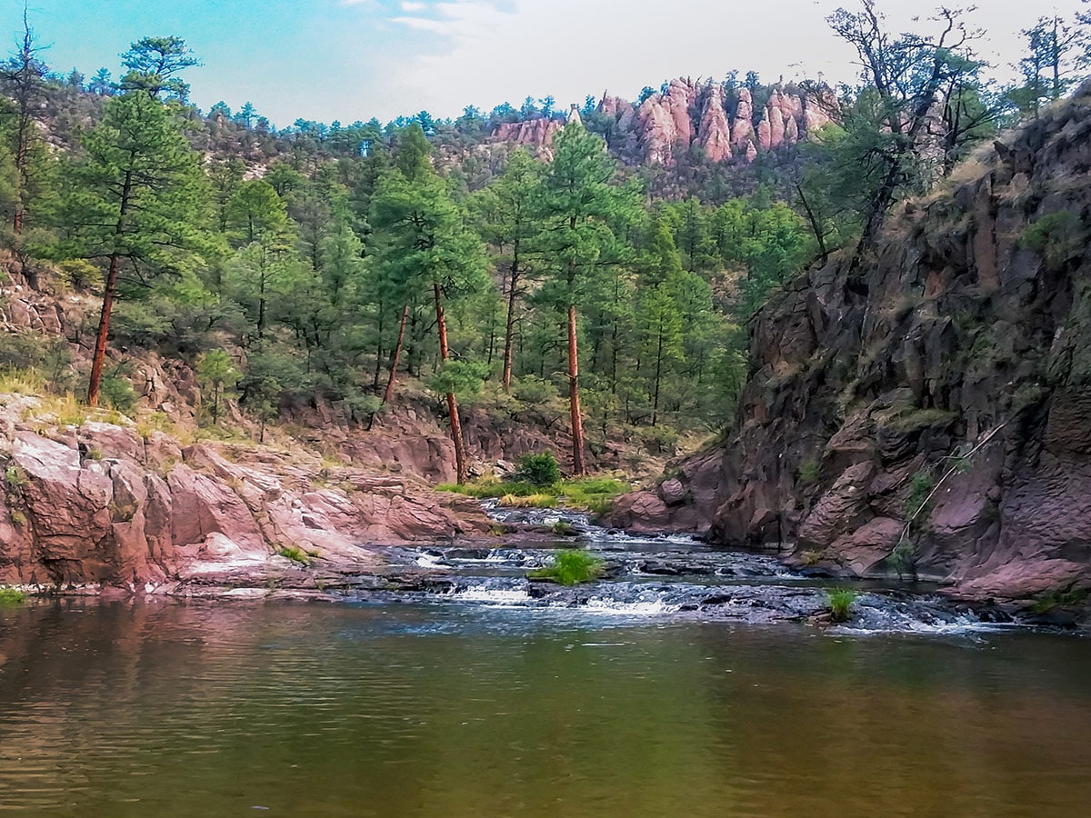
- Expect many river crossings. It is not worth it to take shoes off at every crossing. Crossings may be slippery.
- Flooding can happen, particularly during the spring runoff and summer monsoons. Check the river level gauge and weather before leaving.
- River levels can stay high for weeks.
- Willows and vegetation grow fast during the monsoon season. Expect to spend extra time at the many river crossings to find the trail.
- Learn More
Forces of Nature in the Gila
Weather Pattern Changes and Water
Weather patterns and rain amounts have changed over the past decade. It has resulted in changes to water source reliability. Travel on the mesas can be easy some years due to lots of water sources from rain and snow; however, this is not always guaranteed. Always have an alternative option for water.
Hiking Guides
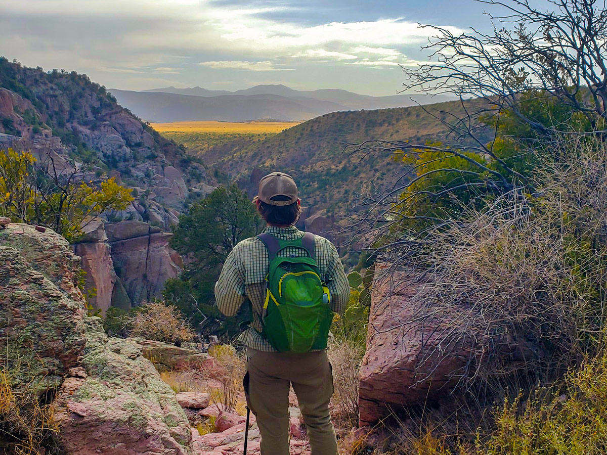
Falcon Guide: Hiking New Mexico’s Gila Wilderness. Excellent reference guide which was updated 2017 after major fires
Gila Centennial Loop: Learn about the Forest Service Gila Centennial Loop here.
Fires
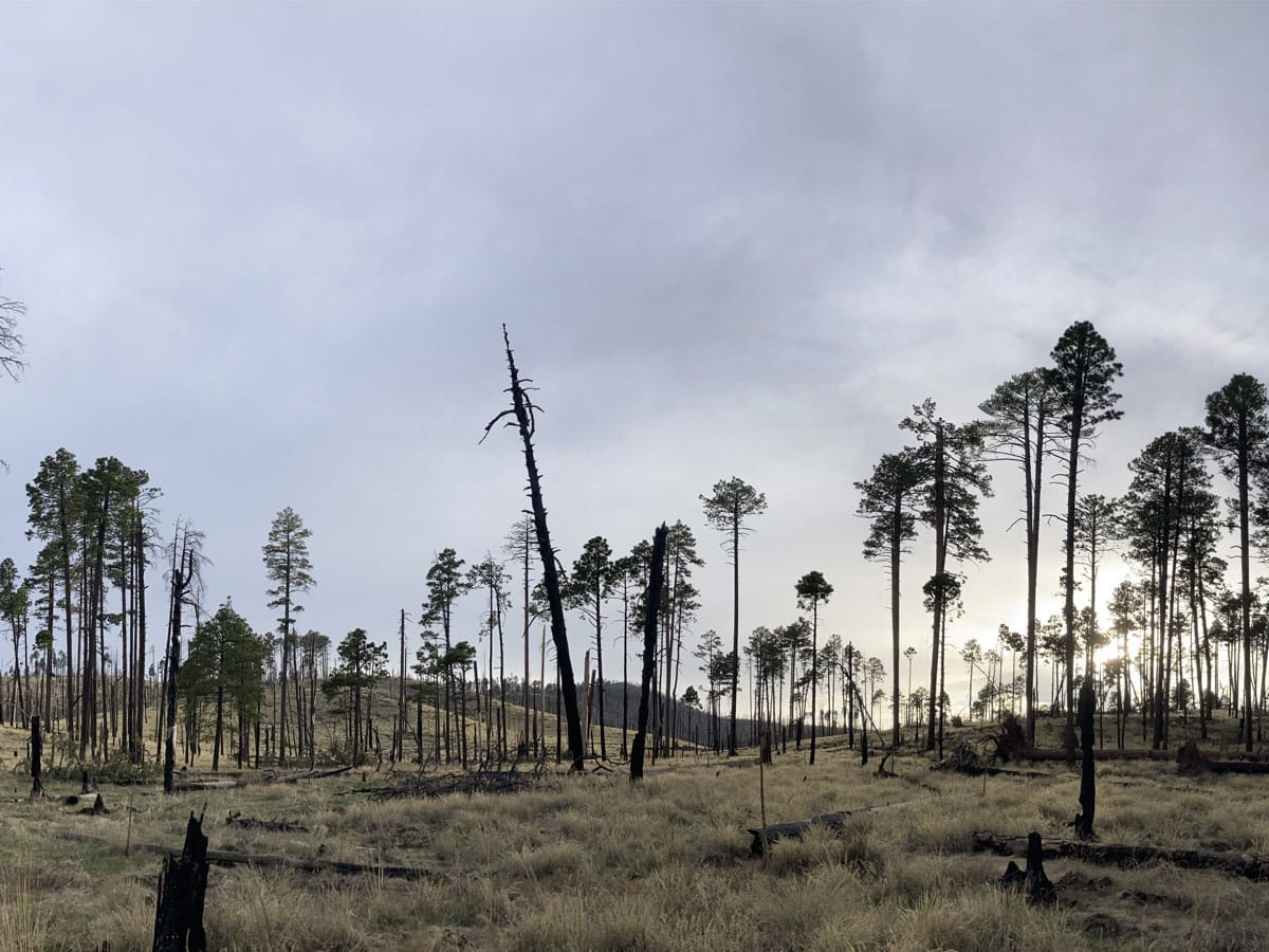
While fires are a part of keeping the southwest landscape healthy, mismanagement and drought have caused mega-fires.
Mega Fires affect trail systems for years/decades to come.
Deadfall block trails (sometimes 1000’s of trees) and can make travel hazardous (trees falling).
Significant post fire flooding can obliterate trails and landscapes – Sometimes whole hillside disappear or there are 20 foot drop offs at creek crossings.
New Mexican Locust, which can grow back in 3 months
after it has been brushed, makes travel even more difficult and can obscure the trail. This plant has very sharp thorns that rip clothing and skin, making travel unpleasant.”
Flooding
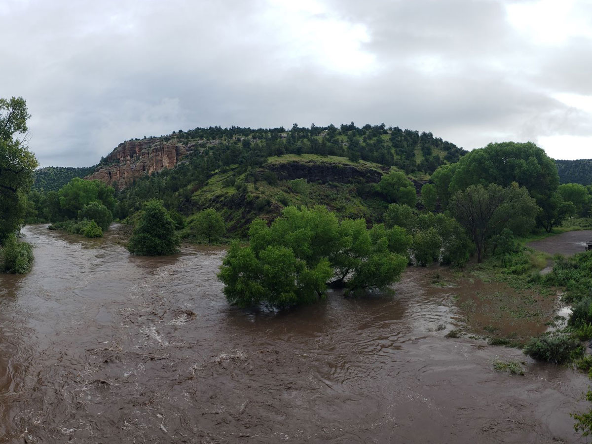
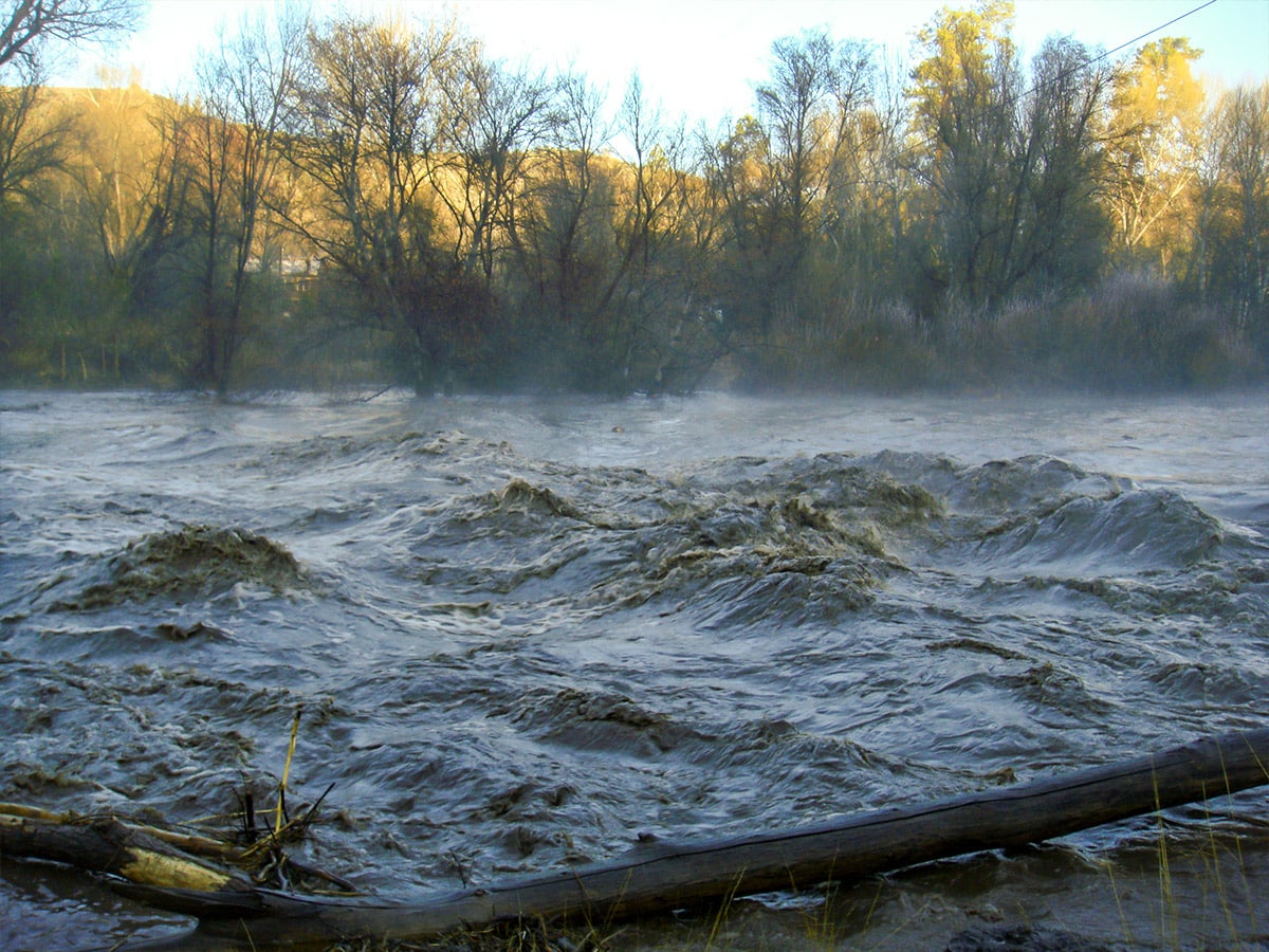
Our clear running rivers look like small streams, but these rivers can turn muddy brown, and rage over our heads through the canyons. Snow run off and monsoons can quickly make rivers impassable for weeks.
If you are planning your adventure during monsoon season, during or after a heavy rain or when the snow is melting in the winter and spring, use the information in Current Trail Info and call the Forest Service.
Camp Smart: During times of potential flooding, camp where you can hike out of the canyon without crossing the river.
Learn about past floods.

Updated Trail Information
Gila Wilderness Trails Maintained
Gila Wilderness Trail Mileages
GPS Location Trails Update
Trails Not Recommended

